SHARE:  

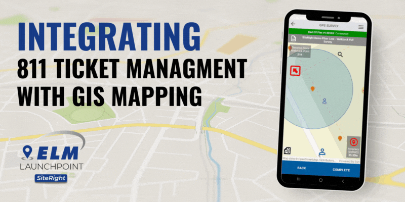
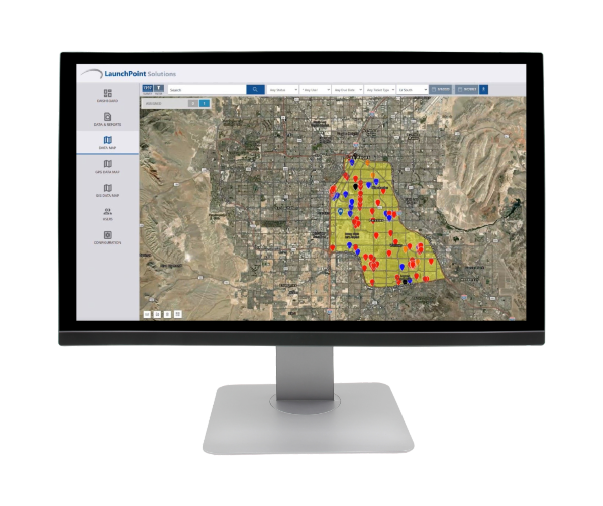
Integrating our 811 ticket management system with our internal GIS mapping solution in an all-in-one software system will provide a streamlined workflow for your locators, allowing them to efficiently manage and reuse mapping data for future tickets. 

Data Integration and Storage:


  • GIS and Ticket Integration: Integration of GPS mapping within the 811 ticket management system streamlines your entire process. Users can easily access and update GIS data in real-time, creating a more efficient workflow for managing locate requests.
  • Centralized Data Storage: All information, including GPS points, is centrally stored and accessible within the all-in-one software system including you mobile device.

Locator's Workflow:


  • Ticket Assignment: When a locator is assigned to a ticket, they can access their GIS mapping data associated with that specific ticket on their mobile device.
  • GPS Mapping for Current Ticket: The locator uses GPS mapping tools to centimeter grade accuracy and mark the location of underground utilities for the current project.

Reuse of Mapping Data for Future Tickets:


  • Data Retrieval: When a locator receives a new ticket for an excavation in the same area or vicinity, they can retrieve and reuse the existing mapping data from previous tickets to easily walk back to each point.
  • Efficiency Gains: Reusing mapping data eliminates the need to relocate the same area, saving time and effort for the locator technician.

Benefits:


  • Time Savings: Locators can easily access and reuse mapping data from previous tickets on their mobile devices, reducing the time required to mark underground utilities in already located areas.
  • Consistency: Reusing mapping data enhances consistency in the documentation of underground utilities, reducing the likelihood of errors and improving accuracy.
  • Efficient Resource Allocation: The streamlined workflow allows locator technicians to focus on new or critical areas while efficiently managing routine or repetitive tasks in areas with existing mapped locates.

Real-time Updates and Collaboration:


  • Dynamic Mapping: Our GIS mapping will provide real-time updates, ensuring that locators have the most current information about the underground infrastructure.
  • Collaboration Tools: The system offers collaboration features, allowing locators to communicate and share photos, videos, and insights about specific areas, improving overall team coordination.

Transform your utility management game with SiteRight. Elevate safety, accuracy, and efficiency in one powerful package!

GET STARTED TODAY
Facebook  LinkedIn