February Gila Trails Update

In this Newsletter:

- Current Conditions

- Day Adventures

- Backcountry Adventures

- Trails Projects

Current Conditions

Improved Trail Information

Looking for information about a specific trail in the

Gila Wilderness and surrounding area? 

Updated trail information?

Now TrailForks has just that.


Map, elevation profile, trail description, access and warnings, updated trail reports, points of interest along the way, photos, and more. 


Choose your mode of adventure at the top left - hiking, horse, mtn biking, etc.. 


You don’t need to sign in to use the website unless you are leaving a trail report. We encourage people to leave trail reports to help other trail users. Sign in is simple. No fee for using the site unless you want the Trail Forks App on your phone.  

Note: we haven't added some of the trails on the west side of the Gila Wilderness. These trails are currently in very bad condition and will be added in due time.

We added trails near the Gila Wilderness, such as

Allie Canyon, Bear Canyon, Tadpole Ridge, and more.


Trails can be searched via the search box, by looking on the map, or by looking through the trail list. Searching “Gila Wilderness” will get you in the ballpark. So will “ Silver City”


We hope you have enjoyable and safe adventures in the Gila during 2024.

Winter Weather and Spring Flooding

January and February (so far) brought much-needed snow to the high country.


Will we have big floods in the spring?


The USGS river level gauges make it easier to plan a trip from your home.

Check out the links and guide to understanding the Rivers in the Gila.


The Gila and its tributaries can flood for days and weeks, making it imperative to make smart choices when camping along the rivers.

Adventure at your own risk.

Trail conditions change.


Recreate Responsibly

Day Adventures

CDT Trail from Red Rock Road Trailhead

north to Bullard Peak

photo credits: Jackie Blurton 

This is a wonderful out-and-back option in the winter.

Sun, views, minimal rocks on the trail, and a mixture of ecosystems with a flowing creek at the turnaround.

Trail Details
Interactive Map
Geospatial PDF Map

Equine Loop - Gold Gulch/Thompson Canyon Loop 

This loop in the Burro Mountains has lots of suns and is lower elevation than Silver City. Too warm to ride in the summer

but now is a great time.

Mainly on two-track.

Photo credits: Russell Lewis

Loop Details
Interactive Map
Geospatial PDF Map

Backcountry Adventures

Planning Your Spring Adventure

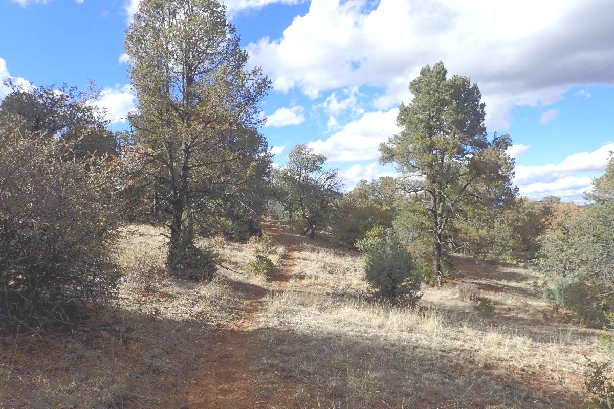
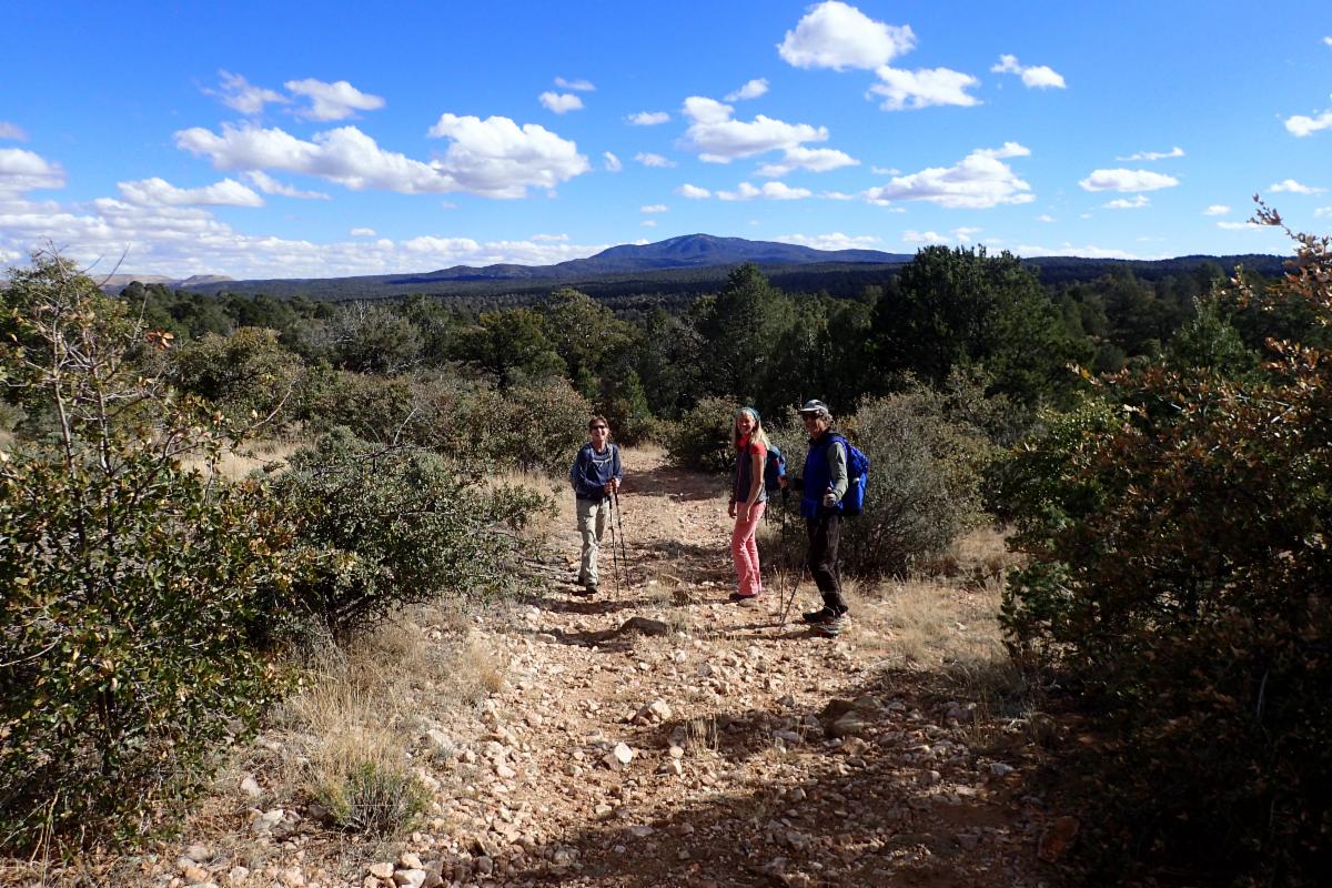
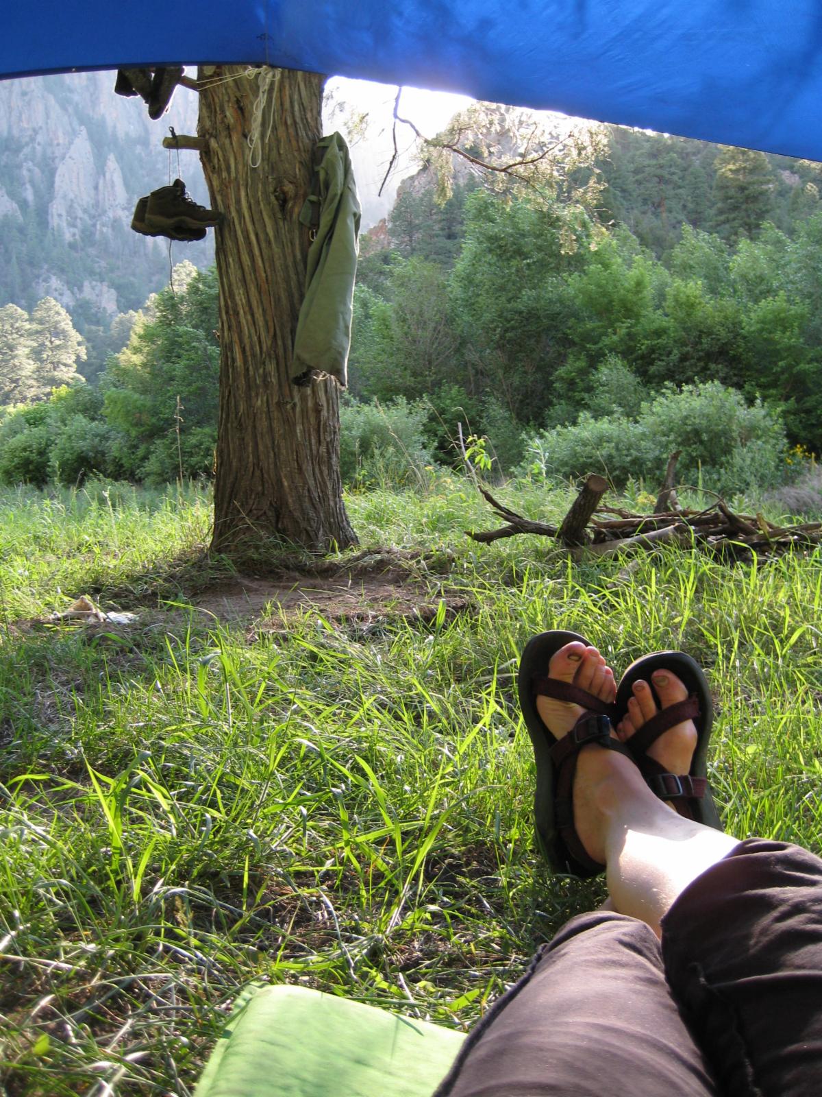
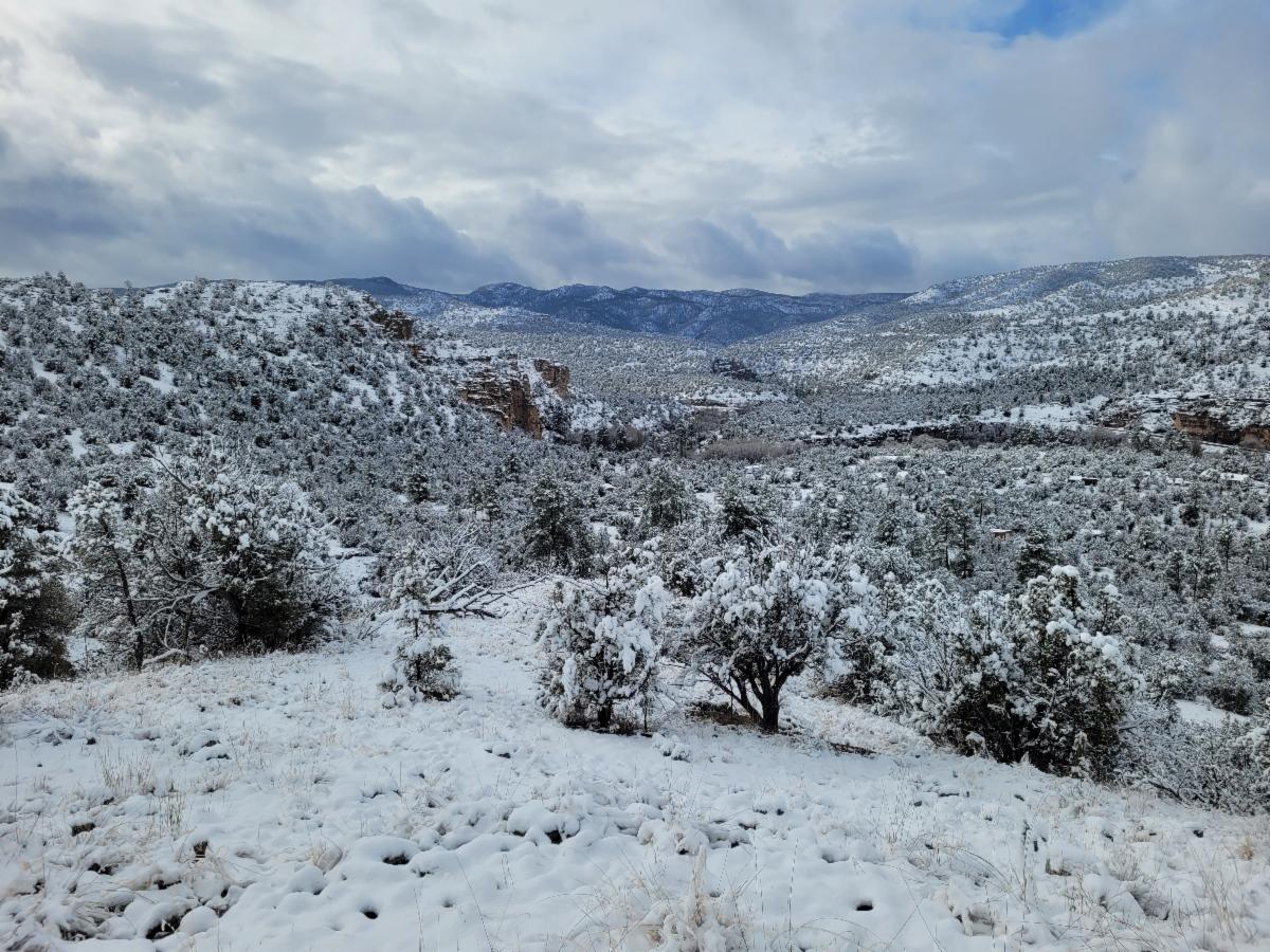
Going on a backpacking trip this time of year can be challenging. It could be great weather, and then the next day, the trail could be icy and snowy or a mud bog. Hard to predict.


 Day hikes are more advisable during this time of year. 


The March issue will have a recommended back-country loop.


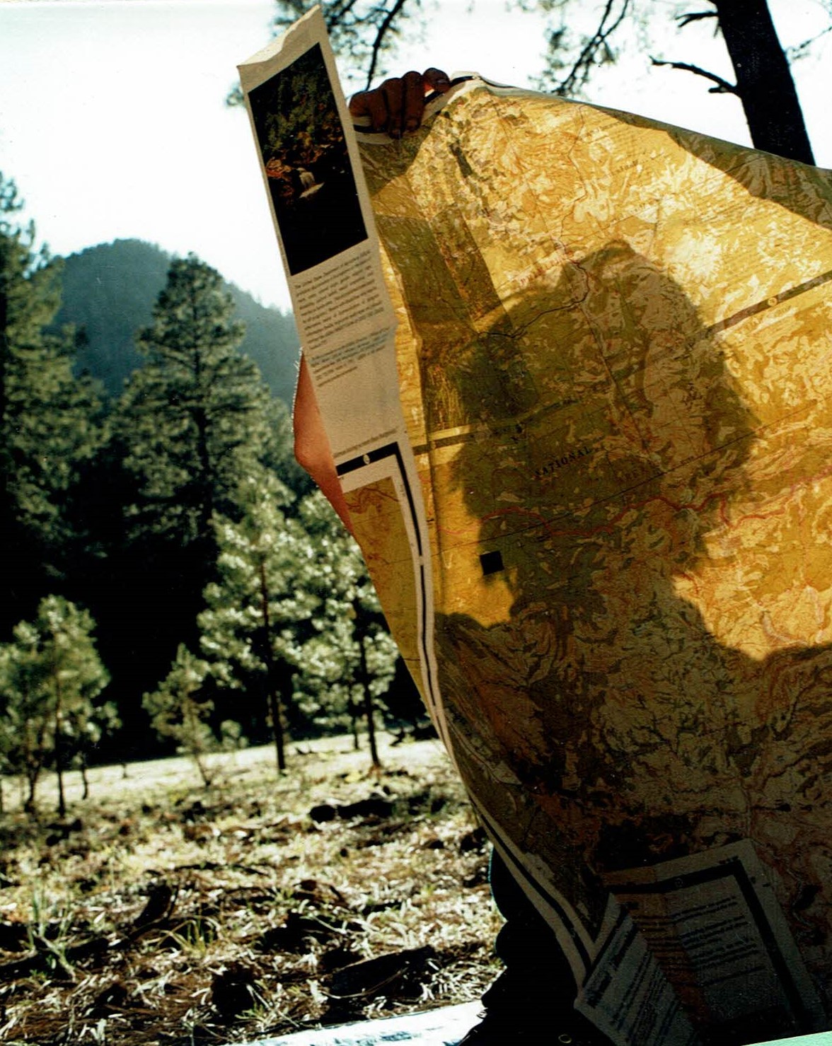
However, February is a great month to plan your backpacking adventures in the Gila. 


Need some ideas? 

Check out the new Multi-day Back County Loops page. 


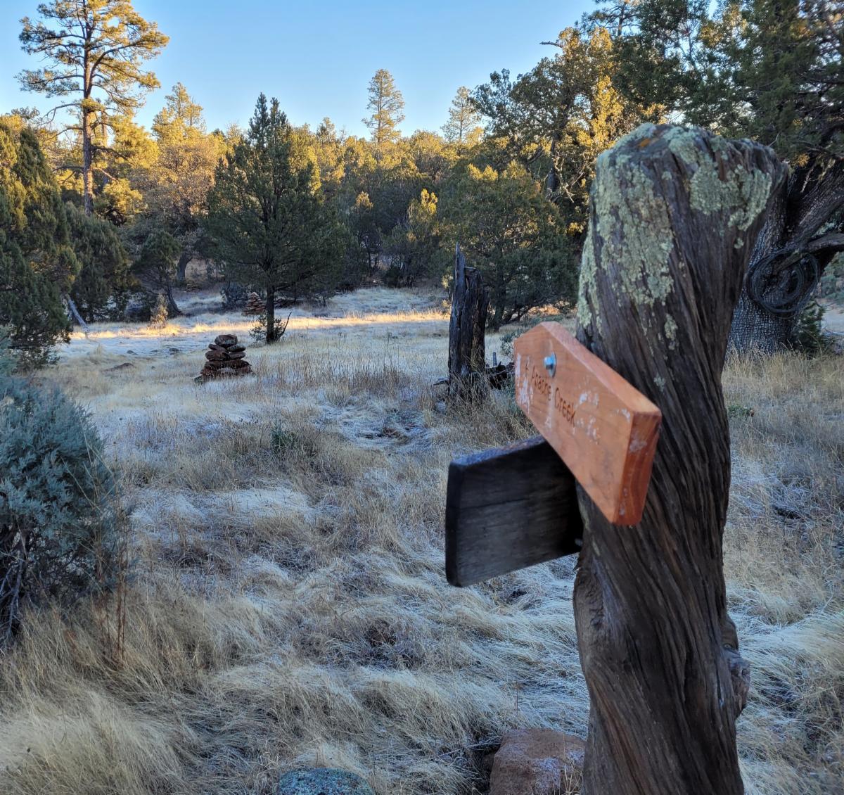
These loops are all on trails that have been recently maintained or are in decent shape. Also, potential water sources are labeled on the map along the loops. Click on the water source to get additional information about the water source.


We will be adding additional loops this spring as we reopen key trails in these loops that are currently impassable or miserable to travel on.


As always, trail conditions can change at any moment. Let us know if something has changed.


Join Us on a Trail Project in 2024

March Trail Projects

Lilley Park Trail #164 from Big Bear Trail #28 to Woodland Park

Project Details

Dates: March 8th – 11th, 2024


Trail Work: Mainly brushing and rocking the trail.


Who: Hikers only


Project Difficulty: Moderate


Map: https://caltopo.com/m/U5GE1


Hike to Basecamp: 7.5 miles

Hiking during the day: up to 6.5 miles


Partner: NMVFO

Logging Big Bear & Woodland Park

Project Details


Dates: March 8th – 11th, 2024


Trail Work: Logging


Who: Equine only


Project Difficulty: Moderate


Map: https://caltopo.com/m/KKK1R


Ride to Basecamp: 7.5 miles


Riding during the day: 10 to 15 miles


Gila Flat Trail #97 & Railroad Trail # 96

(CDT alternate route)


Project Details


Dates: March 19th – 23rd, 2024


Trail Work: Brushing with some logging, tread and trail marking..


Project Difficulty: Moderate


Map: https://caltopo.com/m/C9U3T


Hike/Ride to Basecamp: 4.5 miles


Hiking/ riding during the day: up to 6.5 miles 

Check out our trail project schedule for the rest of the spring


Questions or to RSVP: groundworktrails@gmail.com


Enjoy Gila Trails!

Donate