The City's Four Priorities of Drainage

Drainage concerns come in many different forms. In an effort to give our Public Works department some guidance, I have arranged those most common concerns in order of priority:


#1: The City's #1 priority is to avoid water in houses / structures. In general, we are successful with this. In certain major rain events, there are homes that take on water … and that is never a good thing.


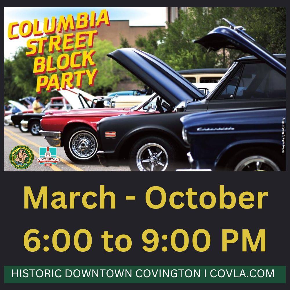
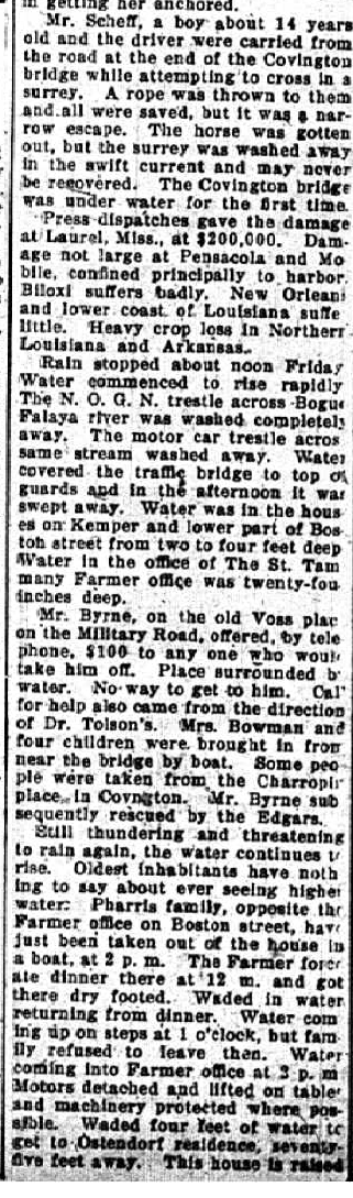
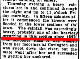
#2: Mitigate street flooding (which impacts emergency vehicle responses). Continued routine maintenance of our drainage tributaries and detention ponds help with this.


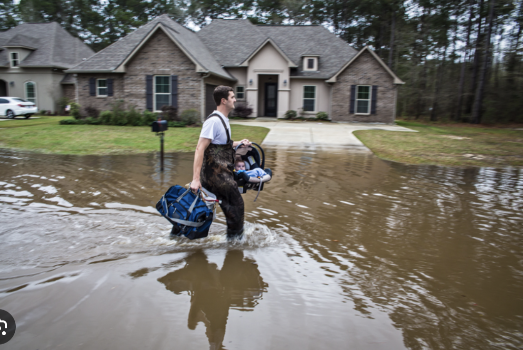
#3: With a flat topography and gravity based system, yard flooding is a realistic expectation. Priority #3 is to mitigate yard flooding. The goal is to have the water recede within 12 hours AFTER the rain has stopped. Please do not assume it will recede while it is still raining.


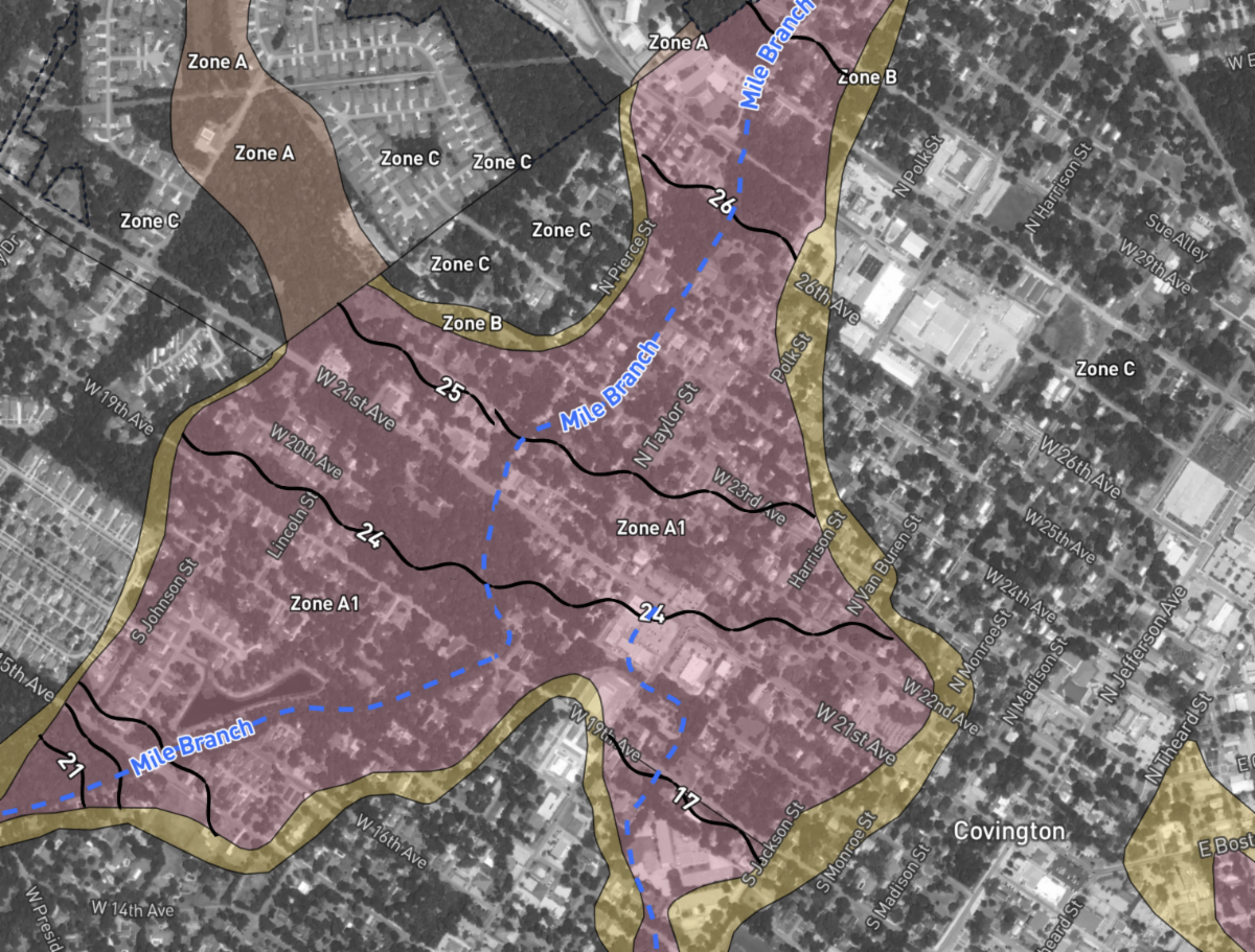
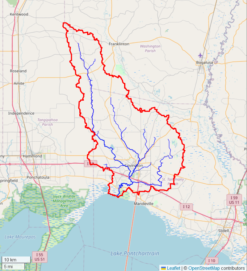
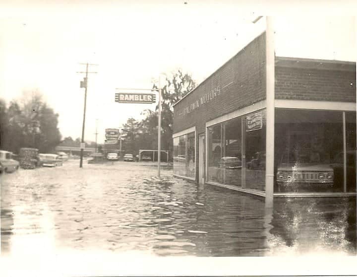
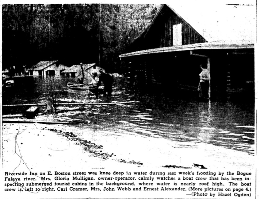
Side note: Ditches drain into tributaries: Rattle Snake, Patricia Canal, Blue Swamp Creek, Mile Branch, Simpson Creek, St. Paul's Creek, Mackie Creek. These tributaries flow into the Tchefuncte and Bogue Falaya Rivers. When the river is full, the tributaries will hold the same level as the river (and therefore not flow or flow slowly). When the tributaries are full, lateral ditches (and your yards) will not flow. For example, the streets of River Forest will not drain until the level of Patricia Canal has dropped below the level of River Forest's culvert outfalls.


#4: Ditches holding water long after it has stopped raining. Ditches that hold water after a rain are a personal pet peeve of mine. Unfortunately, Covington is flat. Quite flat. There is very little fall across the city. This means the bottom of a ditch slightly out of whack, a blocked culvert or a culvert set at the wrong elevation 70 years ago can cause ditches to hold water. Public Works is tackling this city wide problem by digging fewer ditches deeper when they don't drain and by "blowing out" more culverts. In certain cases, they have made nice progress. In others, we continue the battle … much like whack-a-mole.


Side note: Structures in our area that flood tend to have two things in common: 1) They are constructed in a flood zone and 2) They are not raised i.e. they are built flat on the ground.


Side note #2: A flood zone is a zone of land that floods. If one's home is located in a flood zone, then yard and street flooding is a realistic expectation.


We, the City, cannot make a flood zone not behave like a flood zone.

Flood Zones in the Heart of Covington

Flood Zone Link


Side note #3: One should avoid driving on flooded streets. However, if one must, please do so slowly without creating a wake. Often times, the difference between a home or garage getting water and not getting water is some jerk driving his or her vehicle quickly through the water … throwing off a wave that rolls into the structure.


Side note #4: I was recently asked by a resident on Facebook to have Public Works clean the pumps. There are no drainage pumps in Covington. We operate through a scientific principle called "gravity."

Splash Pad Opens This Saturday!!

(and the only free public swimming pool this side of St. Tammany : )

Fiddle Music: It's Good for Your Soul

Steve Martin's Comedy: It's Good for Your Soul

Playmakers Tickets

Camp Bearable for Children

(Hospice House)

Sunshine Coffee to the Rescue

Per Assistant Fire Chief Steven Michel:


"Recently we had a gas leak near a daycare on Tyler Street. I had the opportunity to evacuate the young ones safely and moved them down the street to Sunshine Coffee Company on Tyler St.. This business readily housed 17 kids and 7 adults under a gated porch area, provided items to help keep the kids fed and hydrated. The staff definitely went above and beyond to help all of us out. It made it a lot easier on us knowing the kids were in such great hands."


Good Stuff. Thank you Sunshine Coffee : )

Boys and Girls Club Summer Camp is Back!!

at Pineview Middle School : )

Veterans' Appreciation Luncheon (Memorial Day)

Final Friday Block Party, May 31st

Tribute to Motown

Fuhrmann Auditorium, June 13th

Get Ready, Get Tickets!!

Sidenote: This show will likely sell out.

Trailhead Clock Repair

Unfortunately, we discovered significant deterioration around the clocks of the Trailhead tower. Crews are currently rebuilding the top of the structure.


I refer to this as another "job we didn't ask for." Collapsing drainage culverts and aging water and sewer lines give our Public Works Dept. "jobs we didn't ask for" almost every day … which often times makes it difficult to address routine repairs. Ugh.

Emergency Alert Sign-Up

Click Here to Sign Up

Flooding: Some History

Covington (Wharton) was founded in the confluence of two rivers (the Bogue Falaya and the Tchefuncte). Throughout the 19th century, our town served as the primary port city for crops and building materials moving from Washington Parish, the west side of St. Tammany and from Mississippi to New Orleans. The Choctaw term Bogue Falaya actually means long river (28 miles in length) with its headwaters stretching north of Folsom into Washington Parish. The Tchefuncte River is 70 miles long.

Historically, the two rivers have flooded the west side of the parish every 15 to 20 years. In addition to March of 2016, the rivers overflowed their banks in the 1990's, 1983, 1961, 1947, 1928 (which was comparable to 2016) 1916, 1898 and 1884.

1983

The flood of 1983 was particularly interesting. A south wind for 3 days had pushed the Gulf of Mexico into Lake Ponchartrain which then "plugged" the mouth of the Tchefuncte River. A rain event upstream sent flood waters south to Covington where they made a u-turn and then flowed "uphill" to flood homes near the river as well as downtown.

1961

Dairy King on Claiborne Hill Collins Blvd Bridge

Baldwin Motors

on Boston Street

Riverside Inn

with Mrs. Gloria Mulligan


Bogue Falaya River Crests

Since 1961

1955

Marsolan children

taking a swim

Columbia Street Landing

1947

1928

1916

"Families Take Refuge In New Southern Hotel"

1898

Rain event reference in 1916 flood article

Big Thanks to Mr. Jack Terry for providing many of the news articles.


For more pictures, articles and reference to the 1884 flood, click on Ron Barthet's

Tammany Family Blog.


Mr. George Mire shares these links to our local river gauges … a handy way to observe what is headed our way:


Tchefuncte River Highway 190 west of Covington


Tchefuncte River Highway 21 near St. Tammany Parish Hospital


Bogue Falaya Highway 25 near Girl Scout Camp


Bogue Falaya Boston Street near Claiborne Hill


Side note #1: It is counterintuitive, but dredging the rivers deeper does not prevent or lessen flooding. Once the river is "full," it does not matter if it is full of sand, dirt or water. The flood waters travel across the top similar to a sine wave.


Side note #2: Engineers and Planners agree that the most effective means of reducing flooding is through detention (holding the water upstream and metering it into the river). Detention ponds mostly benefit those living downstream. Although clearing and de-snagging has value, it also causes the water to reach those folks living downstream more quickly.


Side note #3: In some of the rain events described above, the Tchefuncte River stretches east and the Bogue Falaya River stretches west until they become one river. In these cases, the only way to prevent structures from flooding is to elevate them higher than the water.

Rooted in History, Focused on the Future