|
In the News

With the Atlantic hurricane season well under way and Tropical Storm Harvey causing devastation in Texas, a new scientific study reports that coastal wetlands significantly reduce annual flood losses and catastrophic damages from storms. Led by a team of scientists from the engineering, insurance, and conservation sectors, including researchers at UC Santa Cruz, the study found that coastal wetlands in the northeast United States prevented $625 million in direct flood damages during Hurricane Sandy, reducing damages by more than 22 percent in half of the affected areas and by as much as 30 percent in some states.
Successful entries in the American Association of Port Authorities' (AAPA) 2017 Environmental Improvement, Information Technology and Facilities Engineering award competitions have been named. *The winner in the 2017 Environmental Improvement Awards' Environmental Enhancement category is the Port of Stockton for its entry,
Antioch Dunes Restoration Project.
|
|
At the Agencies
The NOAA Center for Weather and Climate Prediction will host an open house on Saturday, Sept. 16, at its College Park, Maryland, campus. The public is invited to tour the facility and meet NOAA research scientists and meteorologists to explore how they forecast and monitor the weather across the country, use satellite data, track atmospheric dispersion of airborne material, and model air quality.
|
In the States and Regions
East Coast
The city's costly effort of more than 16 years to dredge its canals - a plan that for a long time appeared dead in the water - has new life. Port Richey hopes to begin with a canal known as Channel 19, which would be the first dredging done of waterways in the city in decades. The plan is for the work to start before Oct. 1, according to City Manager Vince Lupo.
Two New York City neighborhoods heavily affected by Hurricane Sandy received City Council go-ahead for two new (and very different) rezoning plans last Thursday, September 7.
While the flood waters from monstrous hurricanes like Harvey and Irma eventually recede, a new study says a bigger issue is that flooding is poised to become an everyday problem for many coastal cities as land continues to sink into the Atlantic Ocean.
According to a
study published in Nature's Scientific Reports, sea levels on the east coast of the United
States rise approximately three millimeters per year. While that may not sound like much, bear in mind, sea levels have risen roughly two feet since the 16th century and are poised to rise at a quicker rate as super storms continue to form and ice caps continue to melt.
Gulf Coast
The state Coastal Protection and Restoration Authority recently announced $28.6 million in awarded construction contracts for four coastal projects, with most of the money set aside for two projects in Cameron Parish. One project, totalling $18.9 million, calls for building a 2.8-mile rock breakwater along the shoreline of Rockefeller Refuge. According to a news release from the CPRA, the shoreline has eroded at an average of 46 feet annually. The continued loss of marsh increases the threat of storm surge during hurricanes and other tropical storms.
A report released two decades ago on the Harris County reservoir system predicted with alarming accuracy the catastrophic flooding that would besiege the Houston area if changes weren't made in the face of rapid development. The report released in 1996 by engineers with the Harris County Flood Control District said the Addicks and Barker reservoirs were adequate when built in the 1940s. But it noted that as entire neighborhoods sprouted over the years around the reservoirs in western Harris County, as many as 25,000 homes and businesses at the time were exposed to the kind of flooding Harvey has now brought.
West Coast and Pacific Islands
The U.S. Army Corps of Engineers and five Lower Columbia River ports are beginning the public scoping process to prepare an integrated environmental impact statement and long-term maintenance plan for the Lower Columbia River Federal Navigation Channel. The Plan will ensure the channel, extending upstream from the Mouth of Columbia River to Vancouver, Wash., is maintained and operational at its federally authorized 43-foot depth for another 20 years. The public outreach includes a meeting in Astoria at the Columbia River Maritime Museum Tuesday, October 17, 2017.
On the heels of Pete Stauffer's recent coastal blog post highlighting the national view of the NOAA budget process currently being considered in Congress, we're taking a deeper dive into the waters of Washington State to get a clearer sense of the importance of NOAA programs to the state's communities and quality of life.
Great Lakes
Correction on the Aug 29 newsletter issue:
The Wisconsin Coastal Management Program and not the UW Sea Grant Institute received the Resiliency Grant.
Governor Scott Walker announced today (Aug. 10) that the National Oceanic and Atmospheric Administration (NOAA) has awarded Wisconsin a three-year $840,000 Coastal Resilience Grant to help Lake Michigan communities and property owners in Southeastern Wisconsin reduce damages from coastal hazards and sustain the operation of their coastal economic assets. The grant entitled "Improving Economic Security in Coastal Wisconsin" will be awarded to the Wisconsin Department of Administration's Wisconsin Coastal Management Program. "This grant is crucial to Wisconsin's coastal communities," Governor Walker said. "We're grateful the National Oceanic and Atmospheric Administration recognizes the challenges our Lake Michigan communities are facing and this is an excellent step as we work towards repairing damage and preserving our coasts for years to come."
Painesville Township Hall will host Northeast Ohio's public meeting on a plan to reduce phosphorus levels in Lake Erie. Ohio's Domestic Action Plan outlines a strategy to reduce phosphorus loadings into both the Western and Central basins of Lake Erie by 2025, with an "aspirational goal" of a 20 percent reduction by 2020. The year 2008 is being used as the base year from which progress is measured.
From 7 to 9 p.m. Sept. 13 at
55 Nye Road, the public will have a chance to give their feedback on the plan.
We don't often think about the states and Canadian provinces surrounding the Great Lakes as its own economy - but maybe we should. After all, the region is tightly integrated in terms of trade. It alone accounts for more than 50% of all U.S./Canadian bilateral border trade and sees over 200 million tons of cargo shipped annually. If it were its own country, it would have a GDP of US$6 trillion - making it the third biggest economy in the world.
|
Announcements & More
NOAA Photo Contest 2017
In celebration of the 45th anniversary of the Coastal Zone Management Act of 1972, NOAA is hosting a photo contest. What picture do you see when you think "coastal management "? Whether the subject is protecting the coast, beautiful wetlands, public access to beaches, or visiting the national estuarine research reserves, we (NOAA) want to see your photos that answer the question, "What is Coastal Management?"
For contest rules, deadline, and how to enter, please
click here.
Webinar:
Farm Bill Conservation Programs: Collaboration between USFWS and USDA
Restore America's Estuaries is hosting in conjunction with U.S. Fish and Wildlife Service's Coastal Program.
When: Thursday, September 28th at 1:00 pm EST
Summary: The Farm Bill is the single largest source of land conservation in country. Understanding the various programs offered through the U.S. Department of Agriculture's (USDA) Farm Service Agency and Natural Resources Conservation Service can maximize fish and wildlife benefits. Join us to learn about these programs and how The U.S. Fish and Wildlife Service is working with USDA to restore and enhance habitat.
Presenter: Edwin Christopher, a Fish and Wildlife Service Farm Conservation Programs Biologist, focuses on maximizing opportunities to benefit fish and wildlife through USDA Farm Bill Programs.
Moderator: Leigh Habegger, External Affairs Manager at Restore America's Estuaries
Free webinar is hosted by Restore America's Estuaries
Mark your calendar! And share!
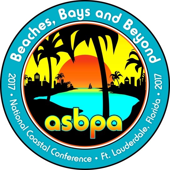
Join American Shore & Beach Preservation Association (ASBPA) at their National Coastal Conference, with the theme, "Beaches, Bays and Beyond", in Fort Lauderdale, Florida on October 24-27. Program and registration online at http://asbpa.org/conferences/.
- Care about the coast? Register for #ASBPA2017 before Sept.29 for early discount. #BeachesBaysBeyond -
Worth reading!
A research team, led by University of Delaware professor Wei-Jun Cai, has identified a zone of water that is increasing in acidity in the Chesapeake Bay.
The team analyzed little studied factors that play a role in ocean acidification (OA) -- changes in water chemistry that threaten the ability of shellfish such as oysters, clams and scallops to create and maintain their shells, among other impacts.
University of Delaware. "Acid zone in Chesapeake Bay identified: Zone of water 30 feet below surface is increasing in acidity, threatening shellfish." ScienceDaily. ScienceDaily, 28 August 2017. <www.sciencedaily.com/releases/2017/08/170828093737.htm>.
OneNOAA Science Seminars, 2017
Tile:Synthesis of public water supply use in the United States: Spatio-temporal patterns and socio-economic controls.
Date & Time: October 18, 2017 12:00 pm - 1:00 pm ET SSMC4 Large Conference Room #8150
Seminars are open to the public. For remote access, location, abstracts and more, visit the OneNOAA Science Seminar Calendar at:
http://www.nodc.noaa.gov/seminars/
Seminars are posted in Eastern Time and subject to changes without notice; please check the web page for the latest seminar updates.
Events & Webinars
September 18 - 19
September 27 - 29
October 4
October 16 - 20
October 18
November 8 - 9 , 2017
|
|