|
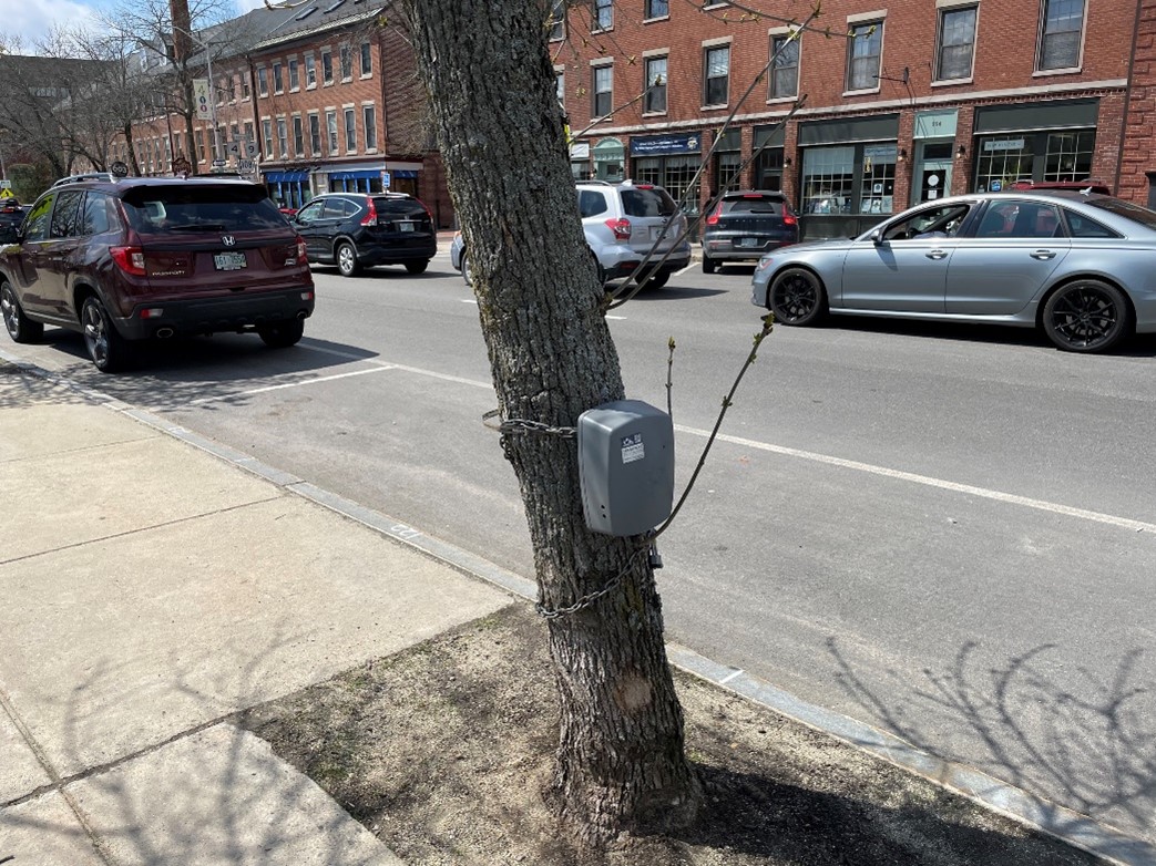
On Saturday, April 29th, GIS Planner Jackson Rand will be presenting findings from the City of Dover Urban Street Tree Inventory project conducted by SRPC in 2020 at the NH Office of Planning and Development (OPD) Spring 2023 Planning and Zoning Conference. This project inventoried and mapped all the street trees in the Central Business District (CBD) of Dover, NH. A variety of data was collected for each street tree, including tree condition, height, species, and photographs. All this data was compiled in an interactive, online dashboard, which shows a map of all the street trees in downtown Dover, the associated attribute data, and charts with key findings. Jackson’s presentation will focus on the innovative use of GIS tools on this project, including ArcOnline Dashboards and the ESRI Survey123 mobile app.
Jackson will be presenting in the “Planning Processes and Data Track” of the conference, with sessions on Census Data for Municipalities, Geodata for Municipalities, the NH Zoning Atlas, and Thinking Differently About How to Get that Zoning Amendment Approved.
Registration for this conference has been closed, but all sessions will be recorded and posted after the conference ends.
The Dover Street Tree Inventory Dashboard can be viewed on SRPC’s ArcOnline site.
Questions about conducting a street tree inventory, creating an ArcOnline Dashboard, or SRPC’s GIS services can be directed to Jackson at jrand@strafford.org
|