|
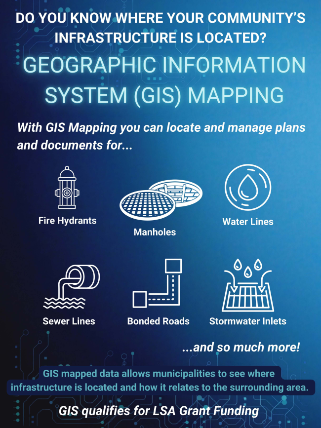
A recent addition to our services is a custom GIS system designed specifically for Keller Engineers. We took on this project in order to provide our municipal clients with a cost-effective solution to locate and manage their community’s infrastructure.
GIS mapped data allows municipal teams to know where their infrastructure is located and how it relates to the surrounding area. With this custom/simplified GIS system, municipal teams and first responders can locate and manage plans and documents in the field using only a tablet or phone. The program locates infrastructure such as water lines, sewer lines, stormwater inlets, bonded roads, signage, fire hydrants, manholes, and much more.
|